What Cities Are in Hampton Roads, VA? |
A clear guide to the Seven Cities, the Peninsula and Southside, and the wider regional map |
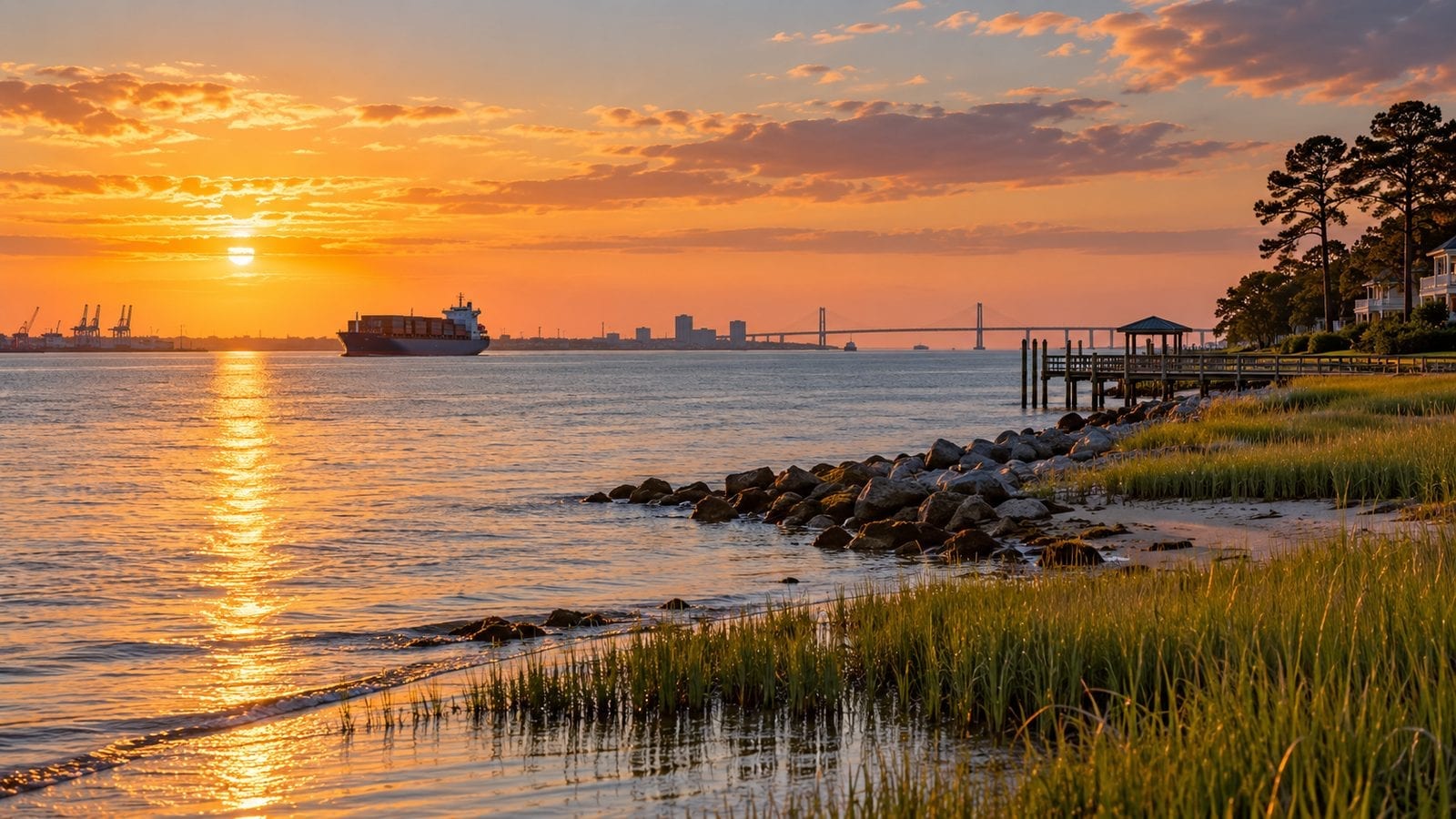
Hampton Roads is a region, not a single city. That distinction matters when you search homes, compare schools, plan a commute, or decide where to stay.
The name describes a connected coastal area around the lower Chesapeake Bay, Hampton Roads harbor, and the waterways that shape daily travel.
Ask people about the region’s cities and many will name the Seven Cities: Chesapeake, Hampton, Newport News, Norfolk, Portsmouth, Suffolk, and Virginia Beach.
That familiar group is a useful starting point, but it is not a complete list of the places regional agencies include.
The Hampton Roads Planning District Commission represents 17 local governments: ten cities, six counties, and the Town of Smithfield.
Those counts depend on which agency or program is defining the region, so a map may include different edges for transportation, planning, tourism, or housing.
The Seven Cities people usually mean are Chesapeake, Hampton, Newport News, Norfolk, Portsmouth, Suffolk, and Virginia Beach.
These seven are independent cities under Virginia’s local-government structure, each with its own city services, elected leadership, and municipal decisions.
Norfolk is a major urban and maritime center, with a dense downtown, a working port, cultural venues, and neighborhoods close to the water.
Virginia Beach stretches from an oceanfront resort district to suburban neighborhoods and rural land, so the city can feel very different from one end to another.
Chesapeake covers a large area with established suburbs, newer development, and protected wetlands that help define its landscape.
Portsmouth sits across the Elizabeth River from Norfolk and combines historic districts, waterfront industry, and established residential neighborhoods.
Suffolk extends west and south into a broad mix of town centers, farmland, forests, and growing residential communities.
Hampton brings together a historic downtown, NASA and military connections, waterfront parks, and neighborhoods along the Chesapeake Bay and Hampton River.
Newport News runs along the Peninsula’s southern edge, with shipbuilding, museums, parks, and neighborhoods linked by several busy east-west routes. |
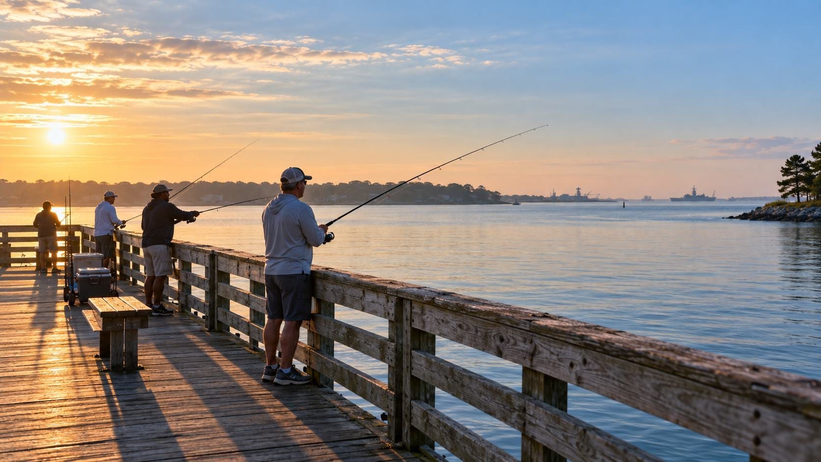
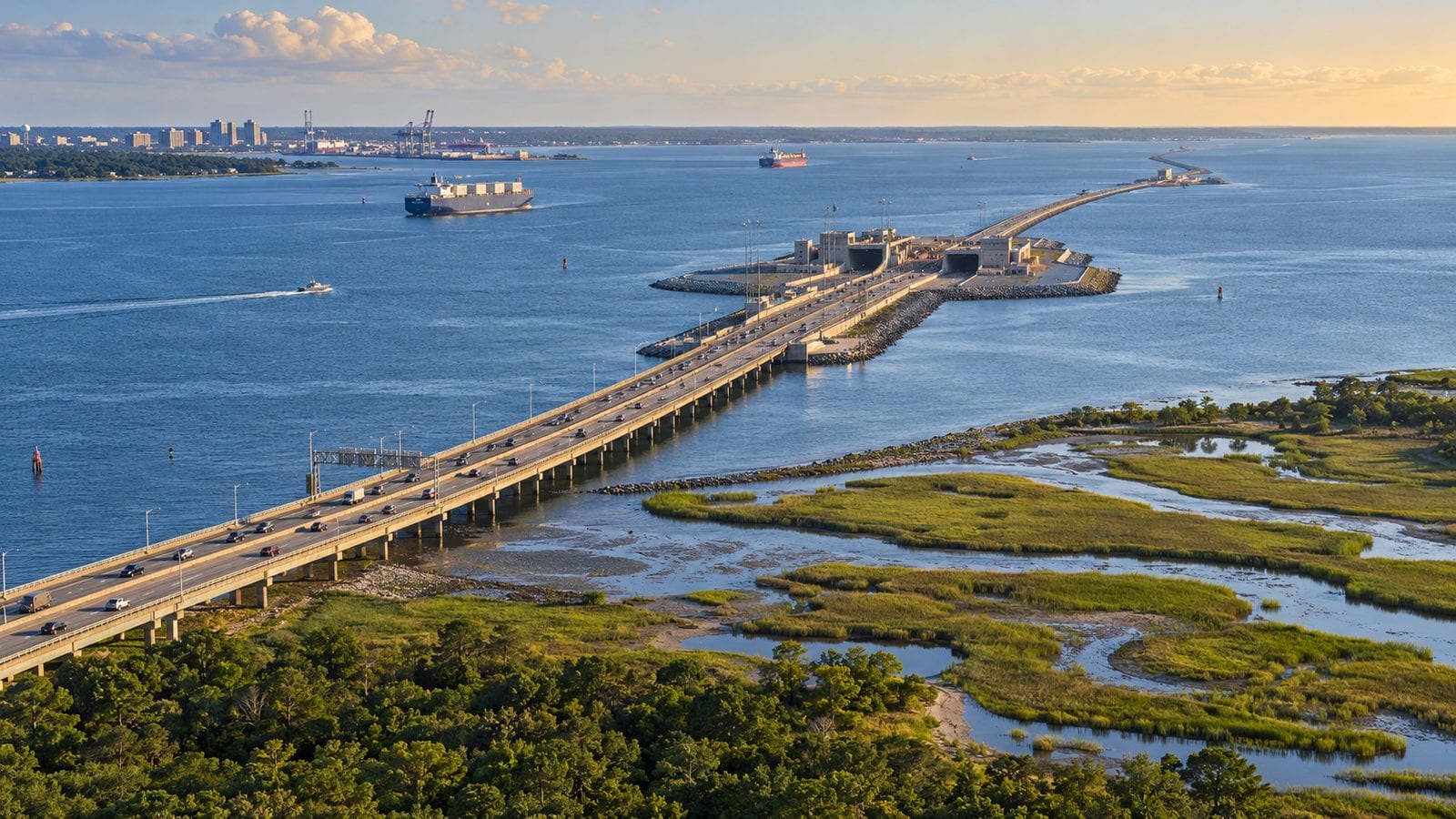 Illustrative view of a Hampton Roads crossing and coastal landscape. |
Two more independent cities often appear on regional lists. They are Poquoson and Williamsburg, both part of the broader Hampton Roads planning district.
Poquoson is a small, low-lying coastal city on the Peninsula, known for its marshes, creeks, and close-knit residential character.
Williamsburg is often associated with the Historic Triangle and tourism, yet regional agencies include it in Hampton Roads planning and transportation discussions.
That is why a short answer to “What cities are in Hampton Roads?” can be seven, nine, or ten, depending on what the speaker means.
The seven-city shorthand leaves out Poquoson, Williamsburg, and Franklin, even though the latter three are independent cities in the wider planning region.
Franklin lies farther west and is included in some Hampton Roads regional systems, though many residents and visitors think of it as an outer edge.
Counties and towns belong in the picture too. Hampton Roads is more than its incorporated cities, particularly for people comparing suburban and rural communities.
The planning district’s six counties are Gloucester, Isle of Wight, James City, Southampton, Surry, and York.
The Town of Smithfield is also a member locality, located in Isle of Wight County and often described as a small historic river town.
Some agencies include only portions of a county or use boundaries designed for a specific service, so county-wide lists can differ from one map to another.
That can make the region seem confusing on paper, but the practical takeaway is simple: check the definition behind a list before assuming it covers every nearby community.
Geography creates two everyday subregions. Locals commonly talk about the Peninsula and the Southside, divided by water and connected by major bridges and tunnels.
The Peninsula generally includes Hampton, Newport News, and Poquoson, along with nearby communities such as York County, James City County, and Williamsburg.
The Southside commonly refers to Chesapeake, Norfolk, Portsmouth, Suffolk, and Virginia Beach, although the boundary shifts with the conversation.
These labels help explain why two homes that look close on a map can involve very different commutes.
A trip between Peninsula and Southside communities may require a bridge-tunnel crossing, and peak traffic can turn that connection into a major part of the day. |
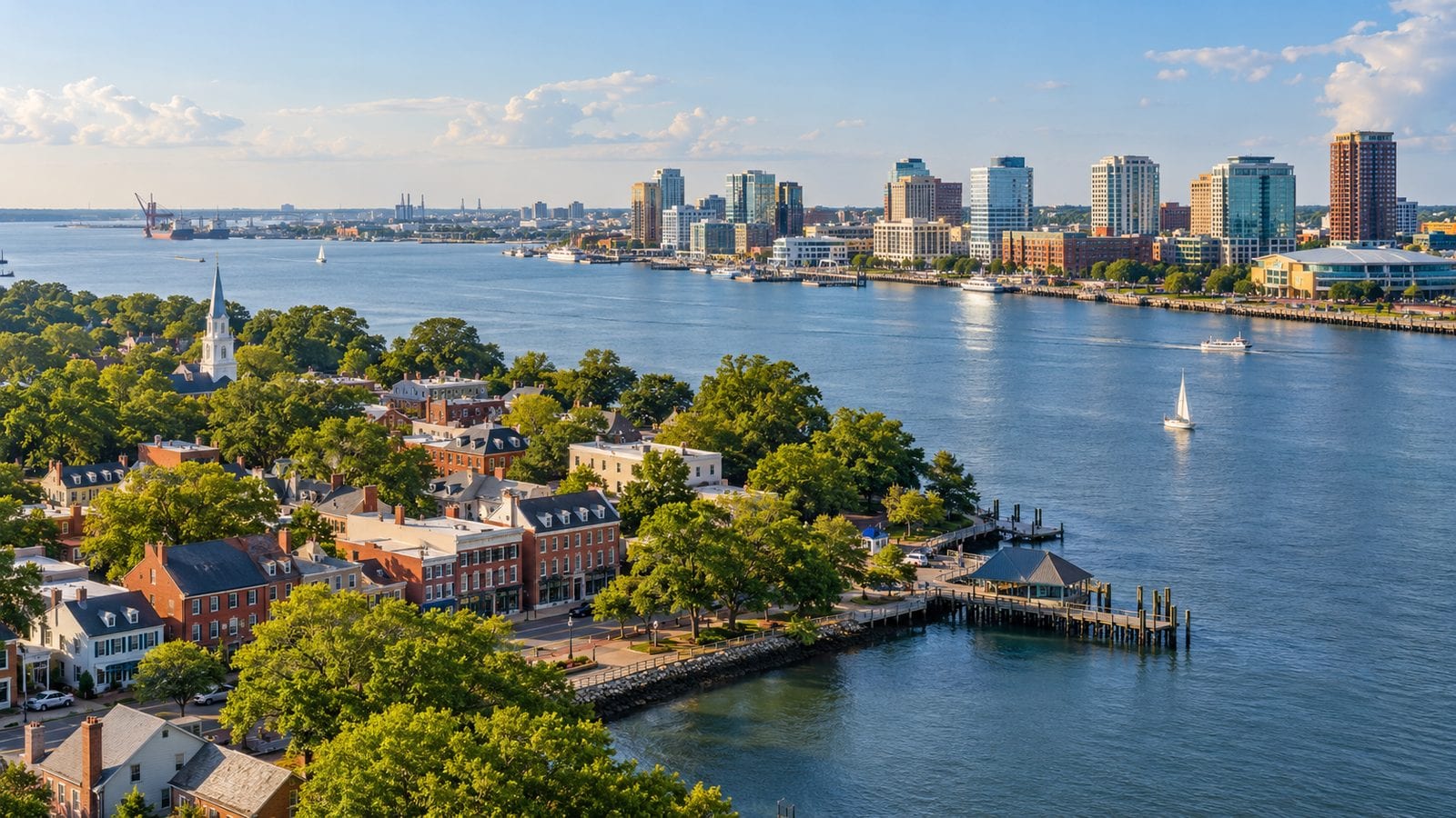 Illustrative Hampton Roads waterfront representing the region’s varied communities. |
Before choosing a neighborhood, map the actual drive to work, school, medical care, and the places you expect to visit regularly.
There is no single best Hampton Roads city for every newcomer. The right fit depends on work location, housing budget, preferred pace, and how often you cross the water.
People drawn to walkable urban neighborhoods may focus on parts of Norfolk, Portsmouth, or downtown Hampton, while others prefer suburban settings in Chesapeake or Virginia Beach.
Newport News and Hampton offer Peninsula options with varied housing, waterfront access, and major employers, while Poquoson and nearby counties may appeal to people seeking a quieter setting.
Suffolk’s size means its neighborhoods can differ widely in distance to jobs, stores, and regional routes, so evaluate each address rather than relying on the city name alone.
Williamsburg and James City County can make sense for people whose daily lives center on tourism, education, healthcare, or work farther up the Peninsula.
Compare property costs, taxes, school boundaries, flood exposure, and insurance at the neighborhood or property level, since citywide averages can hide important differences.
Use the regional list as a map, not a ranking. The names tell you where to look, but the day-to-day details determine whether a place works for your household.
If you are still weighing the full move, start with our Moving to Hampton Roads, VA: The Complete 2026 Relocation Guide for a broader look at housing, commutes, and local life.
Then narrow your search to a few communities and test-drive the routes at the times you would actually travel.
Explore grocery stores, parks, healthcare, and other essentials near the address rather than assuming they will be close because they sit within the same city.
For a quick reference, the Seven Cities are Chesapeake, Hampton, Newport News, Norfolk, Portsmouth, Suffolk, and Virginia Beach.
The wider Hampton Roads Planning District also includes Franklin, Poquoson, Williamsburg, six counties, and Smithfield.
Those wider boundaries are useful for regional planning, while the seven-city grouping remains a convenient everyday shorthand.
Once you know which definition a source is using, the region becomes easier to understand and compare.
That clarity is a practical first step toward finding the Hampton Roads community that suits your plans. |
0 Comments
Join the conversation
Be the first to comment
Share your thoughts above.